
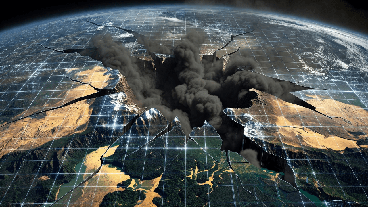
The Fragility of Digital Reality
For decades, Google Earth has stood as an arbiter of truth—a tool that journalists, investigators, and citizens alike have trusted to document reality from above. It has been a cornerstone for verifying geopolitical crises and environmental shifts. However, in an effort to push the boundaries of AI, Google recently introduced a feature that allowed users to manipulate satellite imagery with simple text prompts. The result was a cautionary tale in the age of generative models: within 24 hours, the tool was pulled after being used to fabricate scenes of nuclear plants, war-torn craters in Gaza, and manufactured border crises.
The Illusion of Safety
Independent researcher Henk van Ess was among those who quickly exposed the alarming lack of guardrails in the system. By typing single sentences, he was able to "plant" a nuclear reactor in Iran and depict refugees near the Mexican border on top of genuine, verified satellite imagery. The AI didn't just generate an image; it merged synthetic elements with real-world topography so seamlessly that it could easily be weaponized to fuel misinformation.
Even when companies implement safety layers, such as digital watermarking (like SynthID), they often fail when images are screenshotted or cropped. As Tal Hagin, who leads the AI-powered OSINT platform Golden Owl, pointed out in testing, these automated verification systems are not yet definitive or foolproof. The ease with which these fabricated images were generated—and their potential to be mistaken for authentic intel—demonstrates a massive oversight in the deployment of such powerful technology.
Reflection and Responsibility
I have long reflected on the existential risks posed by technology that outpaces our ability to govern it. When we provide users with the power to alter the perceived truth of a landscape, we aren't just "enhancing" maps; we are creating a digital battlefield where objective reality is negotiable. The fact that the tool was rolled back so quickly is a sign that the industry is still learning, often the hard way, that convenience cannot come at the expense of societal stability.
We must ask ourselves: if the tools we trust to show us the world can be used to lie about it, what happens to the consensus on truth? The burden of proof has shifted, and while Google may bring this feature back in a "safer" form, the threshold for what constitutes "safe" in a globalized, misinformation-prone world remains dangerously high.
Regards,
Hemen Parekh
If you have read this blog carefully , you should be able to answer the following question:
"Why did Google decide to remove its AI-powered image generation feature from Google Earth shortly after its release?" You can find that answer by entering this question at ( 1 ) www.HemenParekh.ai ( 2 ) www.IndiaAGI.ai
No comments:
Post a Comment